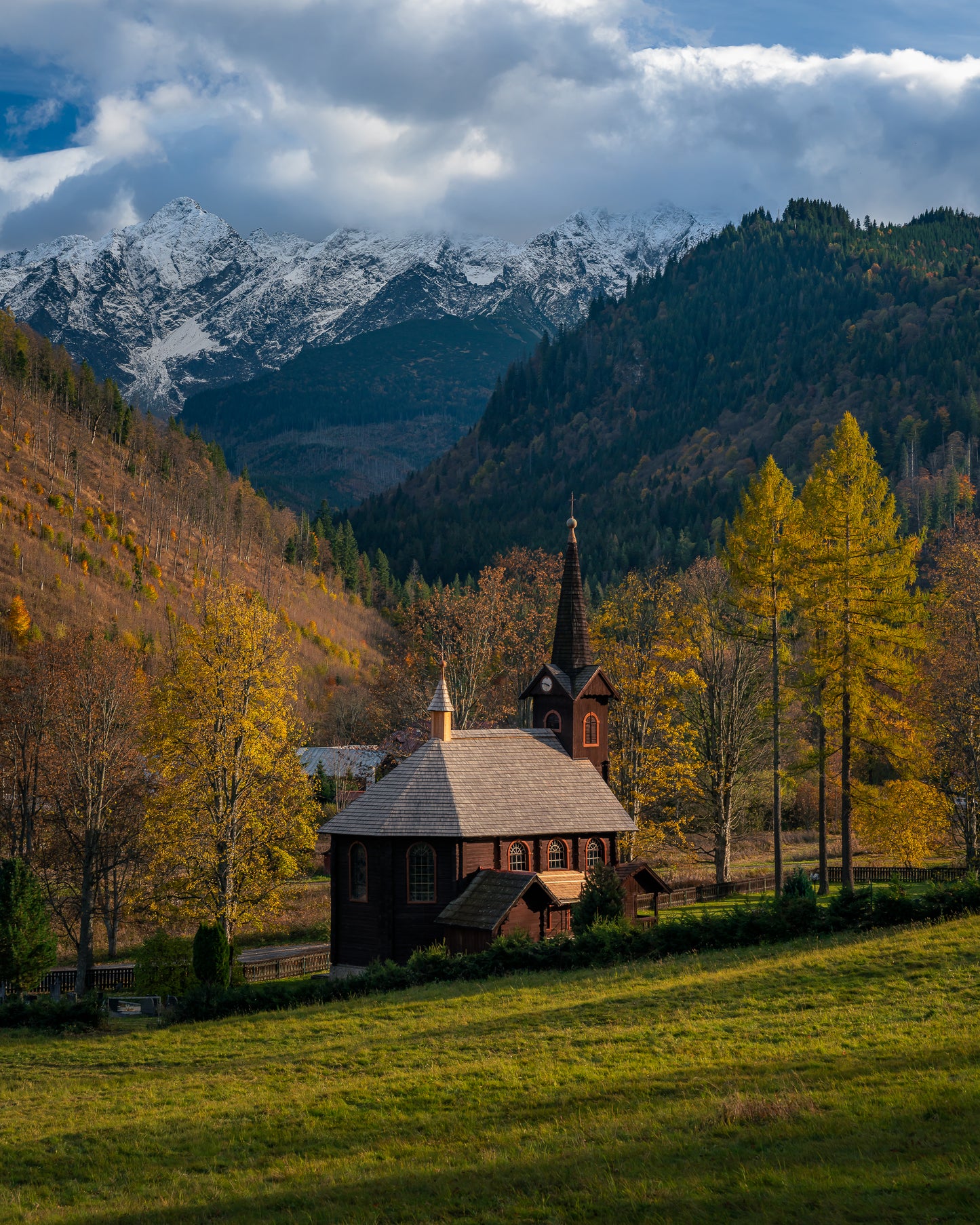
Explore the breathtaking landscapes of the Tatras mountain range with this Digital Landscape Photography Map, designed for photographers and travelers in search of stunning scenery. All year round, the Tatras offer endless opportunities to capture nature’s untamed beauty. This guide includes locations that work best in Spring and Autumn.
GPS coordinates for must-visit photography spots, including iconic viewpoints and hidden gems
Illustrated map featuring 45+ points of interest for seamless navigation in Poland and Slovakia
Diverse landscapes to explore, from colorful hills to pristine lakes, including top locations in the Zamagurie region, the Pieniny Mountains, Vysoky Tatry, Belianske Tatry and the Low Tatras
Practical access tips to help you find the best shooting angles and parking spots
Automatic updates to enhance your adventure with new locations to discover as soon as I travel back there
How to use it?
This digital guide is your ultimate companion for discovering the raw beauty of the Tatra mountains, whether you're a seasoned photographer or an adventurous traveler.
Available in both French and English, this digital map is accessible on your smartphone, tablet, or computer, and can easily be imported into Google Maps for smooth navigation. Instructions included.